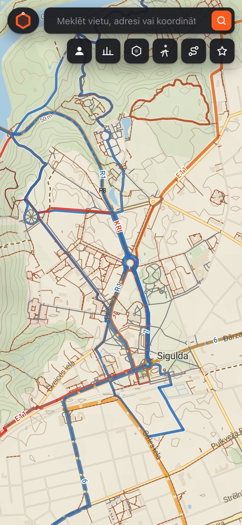
Outdoor map
Trails with surface and difficulty, terrain shading and contour lines. Marked hiking and cycling routes in their real colours.
Latvia · Lithuania · Estonia
Takums turns every walk into a game. Loop around your neighbourhood and everything inside is yours — until someone walks it again.
The map is split into hexagons. Close a loop with the app and every hexagon inside turns your colour. Others can take them back — so there's always a reason to head out again.
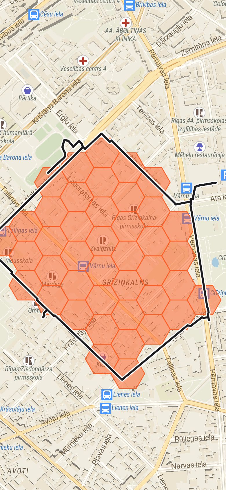 +42 zones
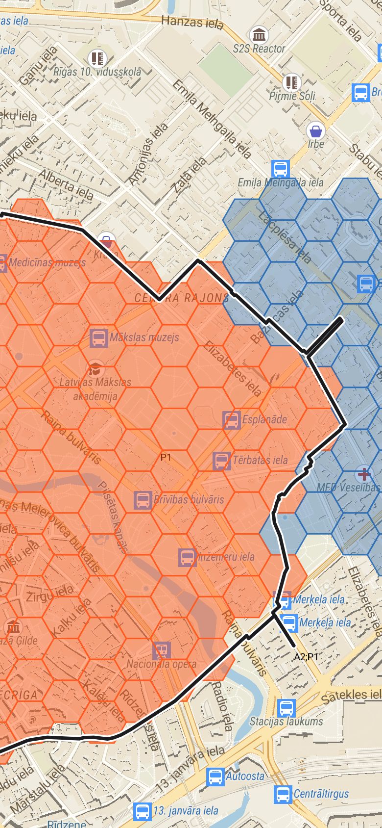 Taken back
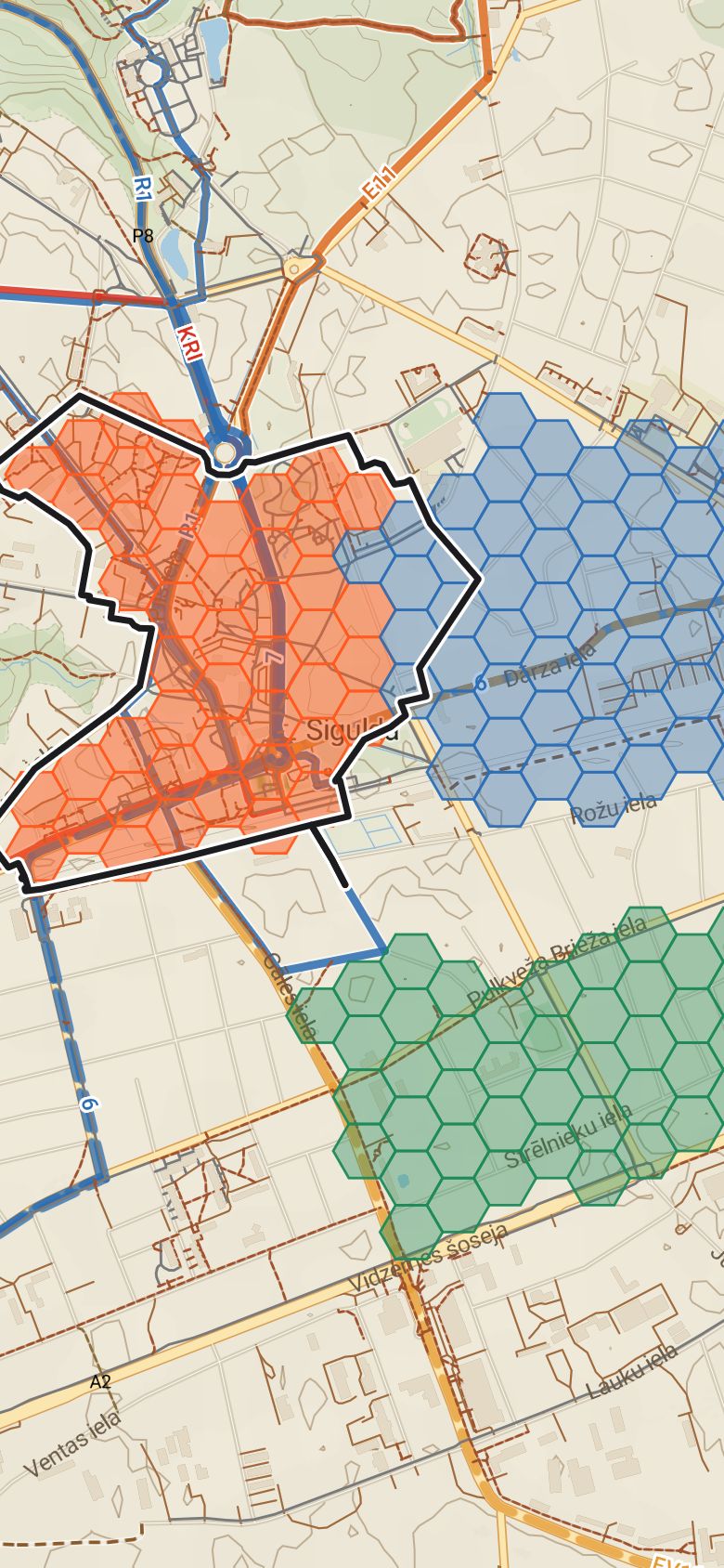 3 teams
Examples on the real Takums map and zone grid.
One app for walks, hikes and everyday movement — across Latvia, Lithuania and Estonia.
Trails with surface and difficulty, terrain shading and contour lines. Marked hiking and cycling routes in their real colours.
On foot, by bike or by car — see distance, time and climb before you set off.
Synced automatically from Apple Health or Health Connect. Daily, weekly and monthly totals — and how you stack up against friends.
Step goals, streaks, distance and climb, finish-the-trail and map bingo. Earn badges along the way.
Invite friends to a hike, see who's coming, and share the story afterwards.
You choose what your group sees. Delete your step data whenever you like.
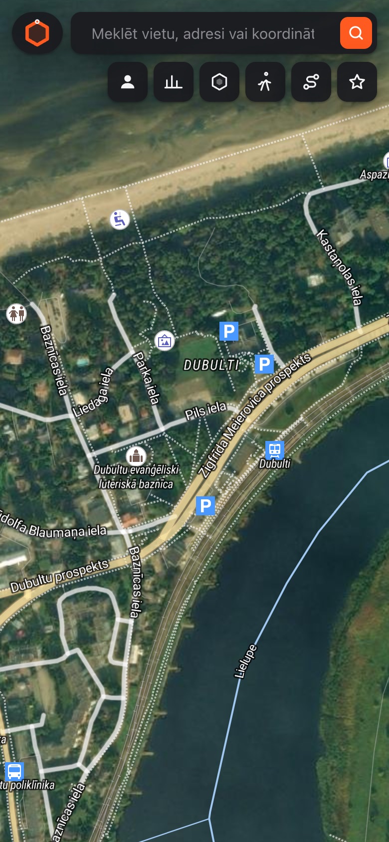
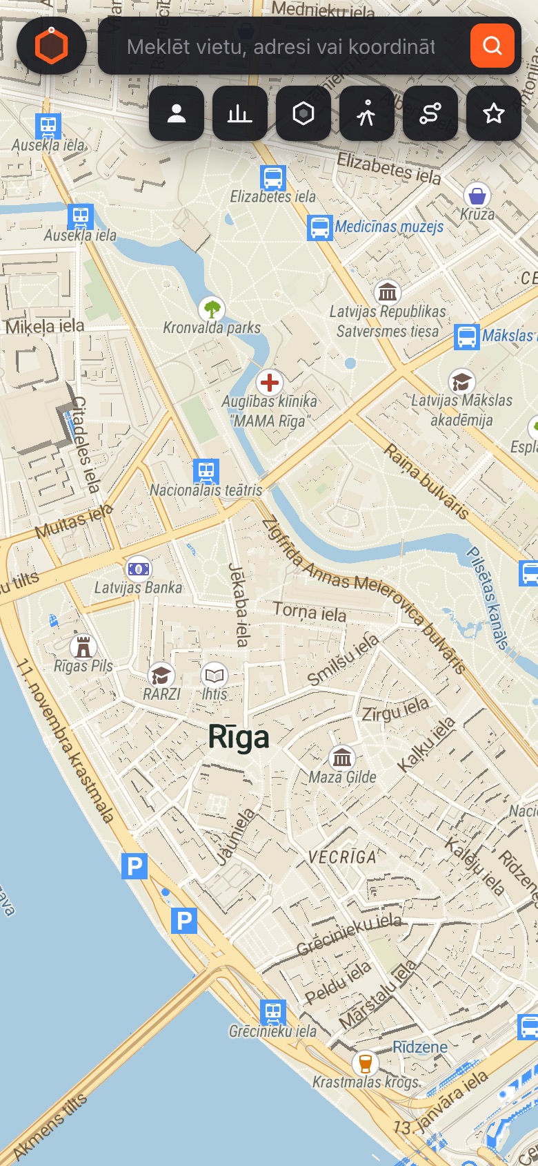
Standard, outdoor, satellite and night — switch with a single tap.
Start a group with friends or bring the whole company along. Teams compete on steps, kilometres, climb and zones claimed.
The map already works in your browser. iPhone and Android apps are coming soon.